April 2024
Collection 1.0
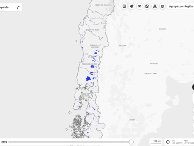
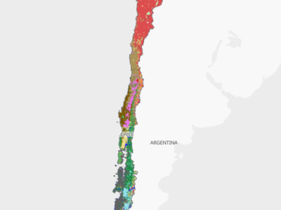
publicada en Abril de 2024 con una leyenda de 13 clases y cubriendo el período 2000-2022
October 2025
Collection 2.0
publicada en Octubre de 2025 con una leyenda de 17 clases y cubriendo el período 1999-2024
ATTENTION: the maps from the MapBiomas collections are a evolving product. When using the data, make sure you are always using the latest version available. MapBiomas maps have its best application at scale up to 1:100 000. Although it is possible view them at a scale of 1:50 000, we do not recommend using the same on this scale.